Our Locations

Peretū / Rangitoto
Ngāi Tai ki Tāmaki traditional names: Ngā Pona Toru ā Peretū (The Three Knuckles of Peretū) - and - Te Rangi-i-totongia ai te Ihu ā Tamatekapua (The Day the Nose of Tamatekapua Bled)
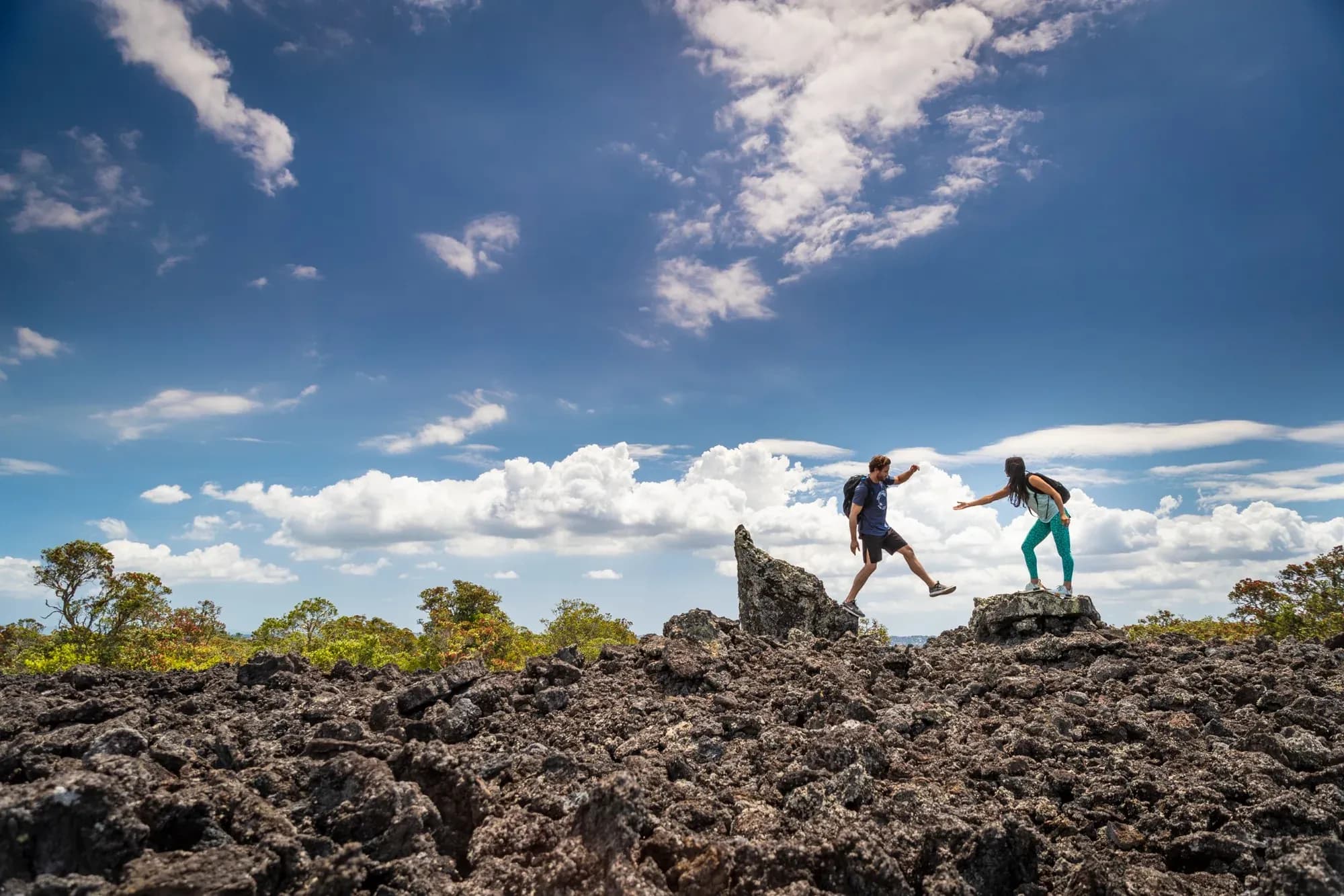
Rising from Tīkapa Moana, the Hauraki Gulf, and formed by volcanic eruptions around 600 years ago, the 2,311 hectare / 23.1 km² island is the largest volcanic cone in the Auckland Volcanic Field and New Zealand’s youngest island.
Just 10km or a 25-minute ferry ride from the city, Rangitoto is a much loved and prominent Auckland landmark. It sits between Auckland’s city, North Shore and the Hauraki Gulf and is connected by a causeway to neighbouring Motutapu Island.
For Ngāi Tai ki Tāmaki, Rangitoto is an ancestral island of deep cultural and spiritual significance. It forms part of a wider cultural landscape connected through whakapapa (genealogy), navigation, traditional resource use and generations of history across the Hauraki Gulf.
Rangitoto also played an important role in Auckland’s World War II coastal defences, with observation, radar, communications and fire-command facilities established on the island.
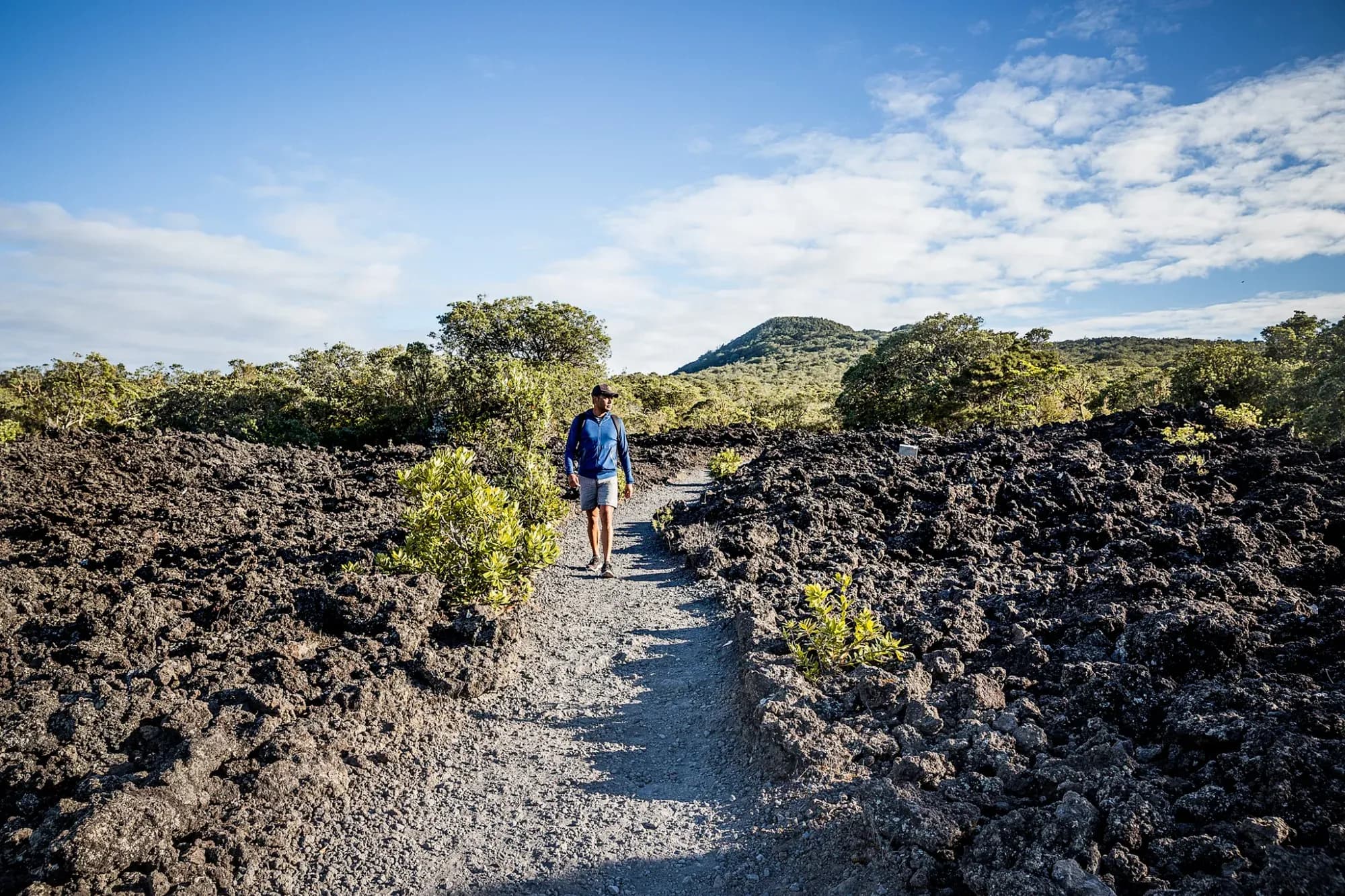
Today, Rangitoto is one of Auckland’s most popular recreation destinations, attracting visitors for hiking, volcanic exploration, birdlife, and spectacular city and inner Hauraki Gilf views. The island is also internationally recognised for its dramatic landscapes, rugged solidified lava fields, extensive native vegetation, and the world's largest Pōhutukawa forest. Conservation continues to protect the remarkable ecology and cultural heritage that make Rangitoto such a treasured place.
Motutapu Island
Ngāi Tai ki Tāmaki traditional name: Te Motutapu a Taikehu (The Sacred Island of Taikehu)
Motutapu is one of the largest and oldest islands in the Hauraki Gulf, dating back around 178 million years. It is also one of the and most historically and culturally significant islands in the Auckland region.
The 1,510 hectare / 15.1 km² island lies approximately 15km from central Auckland. It occupies a strategic position at the entrance to the Waitematā Harbour and is at the heart of the inner Hauraki Gulf island network encircled by Rakino, Waiheke, Motuihe, Motukorea and Rangitoto islands.
Motutapu is an ancestral home of Ngāi Tai ki Tāmaki and a place of immense cultural significance. Ngāi Tai ki Tāmaki peoples lived, gardened, fished and worked here for generations before Rangitoto emerged from the sea. Hundreds of archaeological sites across the island preserve evidence of this long history.
During World War II, more than 1,000 military personnel were stationed on Motutapu as part of Auckland’s coastal defence network, leaving behind gun emplacements, observation posts, fortifications and other historic sites.
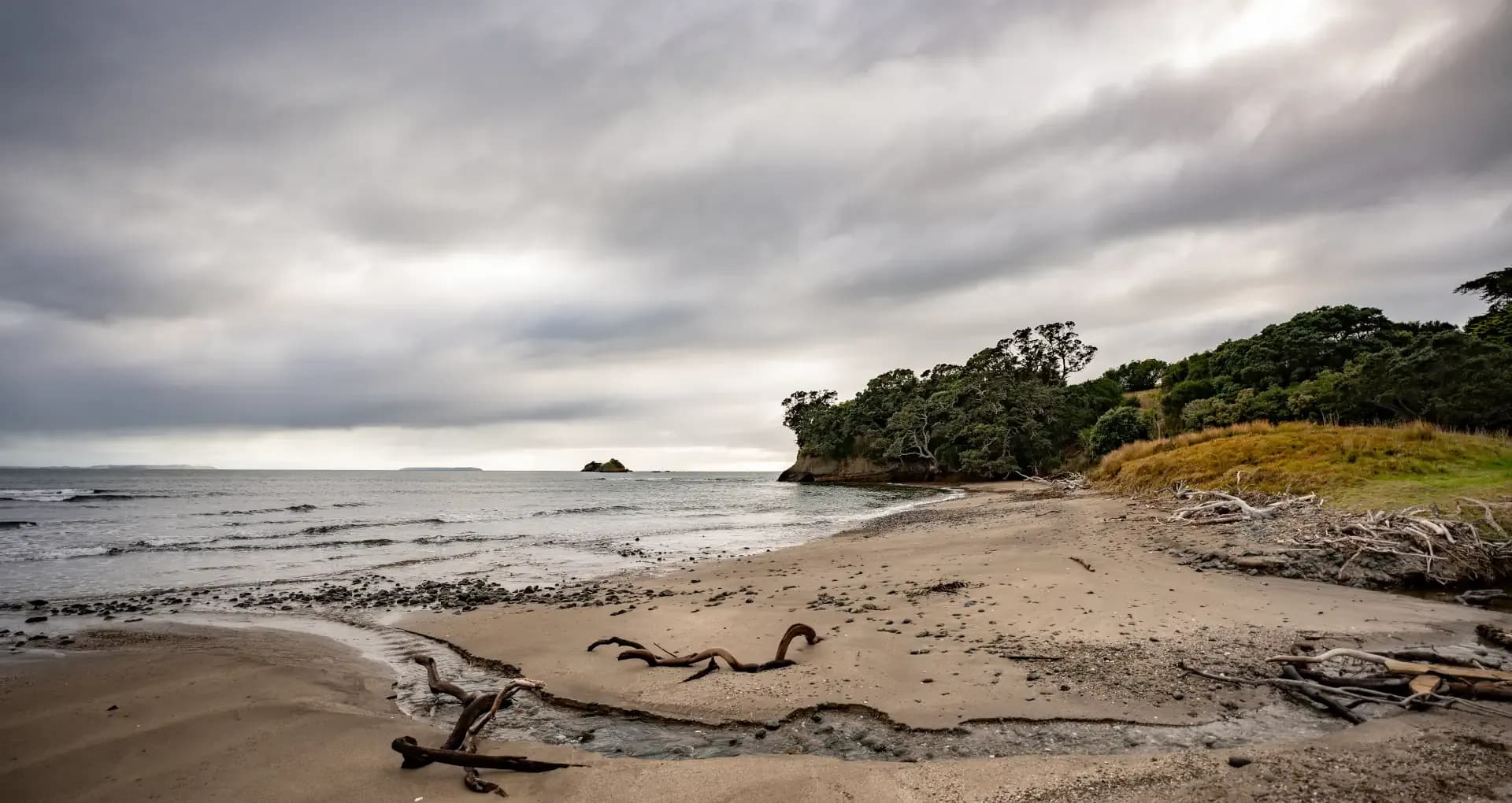
Today, Motutapu brings together nature, birdlife, Māori heritage, military history, farming and panoramic Hauraki Gulf views. Ongoing ecological restoration is helping native forest and wildlife
Hauraki Gulf
Ngāi Tai ki Tāmaki traditional name: Tīkapa Moana (The Mournful Sea)
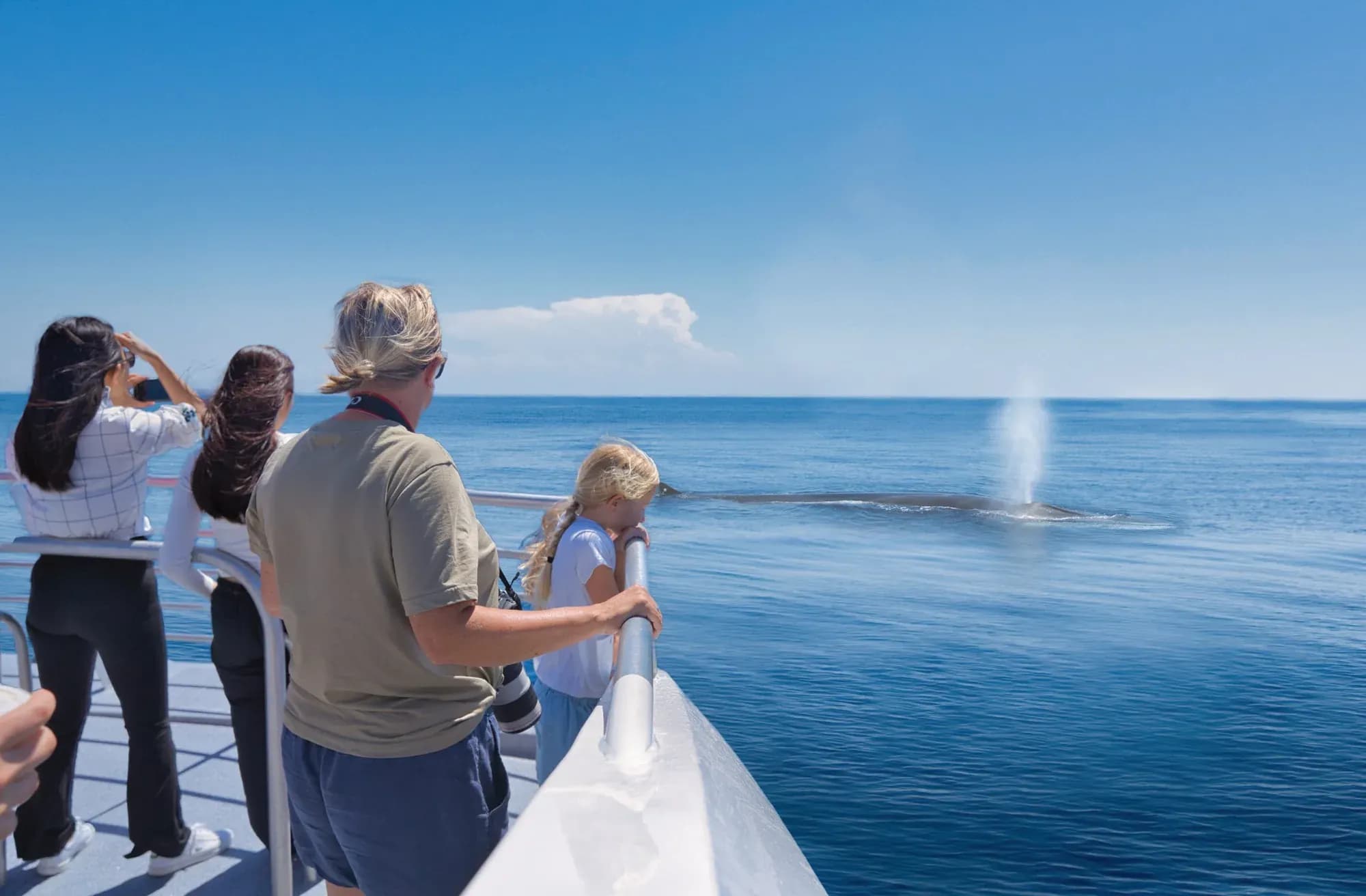
The Hauraki Gulf is a 400,000 hectare / 4,000 km² marine area stretching between Auckland, the Coromandel Peninsula, Aotea Great Barrier Island, and numerous smaller islands including Rangitoto, Motutapu and Waiheke. It forms Auckland’s maritime playground and is one of the country's most significant coastal and marine environments.
For Ngāi Tai ki Tāmaki, this is much more than a body of water. Tīkapa Moana is an ancestral seascape connecting generations through whakapapa (genealogy), traditional navigation routes, fishing grounds, settlement sites, sacred places and stories. The relationship between people, whenua (land) and the moana (ocean) remains central to the identity and heritage of Ngāi Tai ki Tāmaki.
The Gulf also formed an important part of Auckland’s World War II coastal defences. Military installations were established on islands including Rangitoto, Motutapu, Motuihe and Waiheke along with the Whangaparaoa Peninsula, creating a network of observation posts, gun batteries, radar facilities, and coastal fortifications designed to protect the city and harbour from potential attack.
In 2000, much of the area was protected through the Hauraki Gulf / Tīkapa Moana Marine Park, a 1.2 million hectare / 12,000 km² area, helping to protect its ecosystems, wildlife and heritage for generations to come. Today, the Hauraki Gulf is a major destination, treasured for its extraordinary islands, marine life, recreation, boating, fishing, conservation and cultural heritage.